
100% Bumiputera-owned
Registered with the Companies Commission of Malaysia (SSM) under registration number TR0334931-X (202503354201).

NIK Utility Mapping
World-class geospatial and underground utility mapping services for Malaysia's infrastructure development.
Professional & Experienced Workforce.
Registered with the Companies Commission of Malaysia (SSM) under registration number TR0334931-X (202503354201).
Operating nationwide in underground utility mapping and topographic survey services across Malaysia.
Focused on accurate, efficient and high-quality land survey work aligned with construction industry demands.
Working closely with contractors and utility providers so every project meets strict safety and technical standards.
Committed to supporting national economic growth through professional geospatial and mapping services.
Vision & Mission
“To become a world-class service provider and a benchmark of excellence in underground utility mapping — supporting the nation's infrastructure development through creative, innovative, and high-tech human capital.”
2023
Established
100%
Bumiputera-owned
Meet client needs and requirements with efficient and accurate service.
Deliver high-quality, efficient and intelligent survey consultancy aligned with each project's requirements.
Produce products, data and information according to client specifications, professionally.
Ensure survey planning and execution is carried out by trained and skilled officers.
Develop personnel at all levels to be highly capable in technical skill, professionalism and work ethics.
Prioritise research and development, and keep pace with the latest technology.
Professional & Experienced Workforce. End-to-end geospatial capability, from first scan to endorsed as-built drawings.
Detecting and mapping underground utilities — cables and pipes — before any excavation begins.
Detailed topographic mapping of terrain, levels and site features.
Locating and verifying land boundary markers on site.
Accurate land measurement and cadastral survey work.
Aerial LiDAR scanning for high-precision terrain and asset data.
Traffic management planning for roadworks and excavation zones.
As a Utility Infrastructure Plan Provider, every project follows a disciplined, auditable sequence.
Receive work order from the corridor authority and client.
Site visit.
Underground scanning works carried out.
Preparation of the utility infrastructure plan.
Submit plan for review by the corridor authority and client.
Plan preparation & drafting.
Plan endorsement.
Joint site visit with the Local Authority (PBT).
Submission together with the corridor authority and client.
On-site as-built survey.
Excavation works carried out.
Trusted by Malaysia's leading utility, telecommunications and government agencies.
















Completed and ongoing underground utility mapping and survey projects across northern Malaysia.
28
Total projects
263,107+
Metres mapped (listed)
16
Utility & agency clients
| No. | Project description | Distance (m) |
|---|---|---|
| 01 | MSVT utility mapping & land survey — 11kV 240mmp XLPE cable stringing, Kg. Kejai to Kem Kejai, Baling, Kedah TNB | 2,800 |
| 02 | Proposed 2CCT 11kV route from Pintu Kuala Ketil to SSU UNIMX TNB | 10,000 |
| 03 | Water reticulation pipe installation (open cut & pipe jacking), Amanjaya, Sungai Petani — Syarikat Air Darul Aman (SADA) Water (SADA) | 5,000 |
| 04 | Large-scale solar PV plant (LSS) 99.00 MW, Baling, Kedah Solar (LSS) | 2,300 |
| 05 | Establishment of PPU Cenang Resort 2×30 MVA 33/11kV, Langkawi TNB | 5,400 |
| 06 | Chuping Valley Industrial Area (CVIA) Phase 1 infrastructure, Perlis — NCIA Industrial | 13,148 |
| 07 | 33kV cable installation via Horizontal Directional Drilling (HDD), Kuala Muda — Maya Jaya solar farm Solar (LSS) | 2,545 |
| 08 | Kulim Hi-Tech Park Zone Industry Phase 5 infrastructure Industrial | 11,600 |
| 09 | Kebenaran merancang — tambahan 1 blok gudang 1 tingkat & Stesen Suis Utama 11kV, Lot 2240 (PT281), Pekan Sungai Karangan, Kulim, Kedah (WH Union Development Sdn Bhd) TNB | 5,980 |
| 10 | Izin lalu & permit pemasangan infrastruktur utiliti kaedah HDD, Jalan Sungai Baru, Mukim Sungai Baru, Kota Setar, Kedah (Jubrincon Bina Sdn Bhd) Water (SADA) | 4,000 |
| 11 | PCC of NGDS to Gurun FL Stage 1/25 (Package 1), Gurun Industrial Area, Kedah Darul Aman Gas | 11,040 |
| 12 | Projek penggantian pilot kabel TNB antara PMU Tikam Batu ke PPU HICOM Honda, Sungai Petani TNB | 13,289 |
| 13 | Projek penggantian pilot kabel TNB antara PMU Padang Temusu ke PPU Bakar Arang, Sungai Petani TNB | 5,209 |
| 14 | Bekalan elektrik ke pembinaan bangunan tambahan Hospital Sultanah Maliha, Langkawi, Kedah TNB | 4,000 |
| 15 | Cadangan perumahan Fasa 1 & Fasa 2 (rumah berkembar kluster & teres 1 tingkat), sebahagian Lot 21, Bandar Gurun, Kuala Muda, Kedah (LFE Development Sdn Bhd) TNB | 7,000 |
| 16 | MSVT — penyediaan pencawang CSU & pertukaran kabel 25mmp Cu ke 240mmp XLPE, Kampung Pantai Cicir, Kuala Ketil, Kulim TNB | 3,309 |
| 17 | Izin lalu & permit pemasangan mekanikal dan elektrikal kaedah open cut / HDD, Jalan PKNK Utama & Jalan Lencongan Timur, Sungai Petani, Kedah (Jabil Green Point Precision (M) Sdn Bhd) TNB | 3,560 |
| 18 | MSVT — merentang kabel 11kV 240mmp XLPE dari P/E Kilang Nippon Hartajaya ke P/E Ladang BMR menggantikan kabel 185mmp PILC TNB | 6,500 |
| 19 | Pemasangan paip retikulasi air kaedah open cut, pipe jacking & HDD, Jalan Batu 41 – Sidam, Jalan Lencongan Timur / Barat, Kuala Muda, Kedah (Pengurusan Aset Air Berhad) Water (SADA) | 30,000 |
| 20 | Perkhidmatan perunding kejuruteraan — projek pembinaan Loji Rawatan Air Sidam Kiri Fasa 1, Kuala Muda, Kedah Water (SADA) | 34,000 |
| 21 | Permit kerja penanaman kabel elektrik kaedah HDD di K621, K152, Mukim Sungai Petani, Kuala Muda, Kedah (Samaiden Sdn Bhd) TNB | 9,500 |
| 22 | Kebenaran merancang — cadangan ladang solar berkapasiti 9.99 MWac di PT 9535 & sebahagian PT 9536, Mukim Padang China, Kulim, Kedah Solar (LSS) | 14,000 |
| 23 | Projek menaik taraf Loji Rawatan Air Jeniang, Sik, Kedah — Kementerian Desa dan Wilayah Water (SADA) | 7,000 |
| 24 | Kerja pemetaan utiliti bagi cadangan penubuhan MPPU Taman Sri Bayu 33/11kV, Tumpat, Kelantan TNB | 5,560 |
| 25 | EPCC of NGDS to Gurun FL Stage 2/25, Gurun, Kedah Darul Aman (Perfect Channel Sdn Bhd — Package 2) Gas | 10,679 |
| 26 | Izin lalu bagi pemasangan utiliti telekomunikasi (gentian optik), Bandar Baru Puteri Jaya, Sungai Petani (Maxis Sdn Bhd) Telco | 14,588 |
| 27 | Permit kerja penanaman paip gas kaedah HDD, Jalan Kuala Ketil, Mukim Kuala Ketil, Kulim, Kedah (Gas Malaysia Distribution Sdn Bhd) Gas | 8,000 |
| 28 | Pemasangan gas asli kaedah HDD / korekan terbuka, Jalan Changlun – Kuala Perlis Highway (194) dan Jalan PNKK Utama Gas | 13,100 |
Showing a selection of 28 completed and ongoing projects. Additional records are available on request.
From first scan to endorsed drawings — a look at how our teams work on the ground.
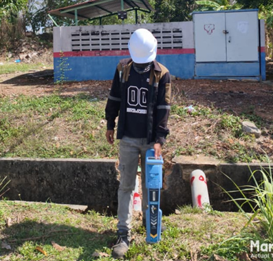
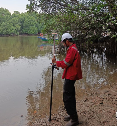

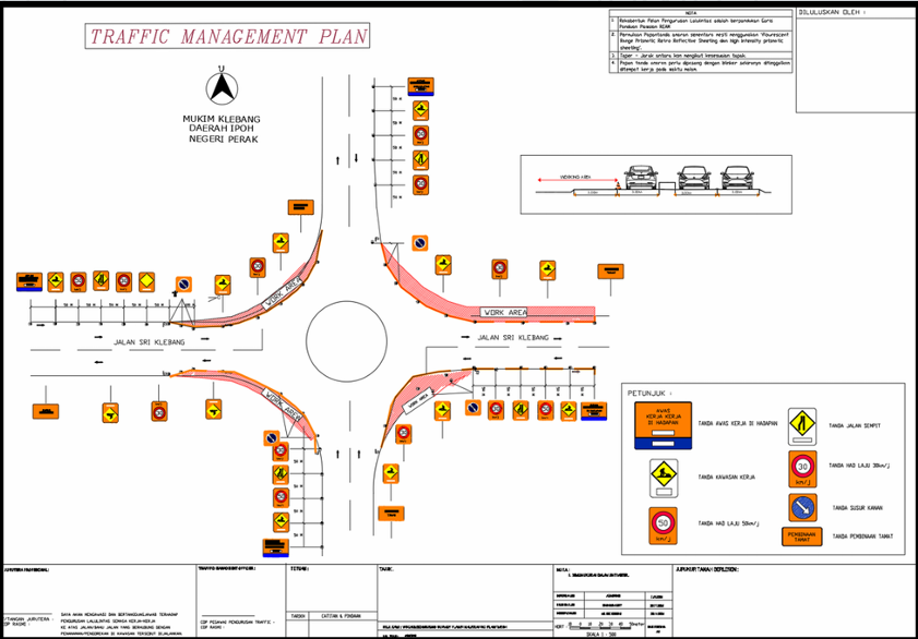

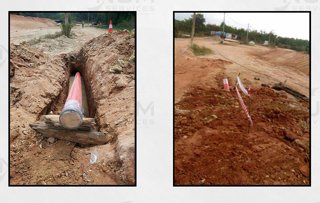

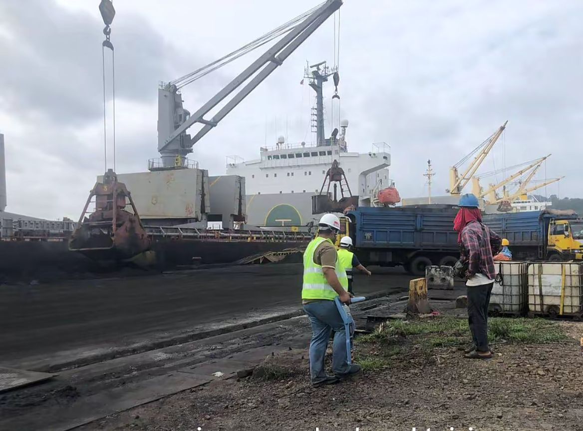
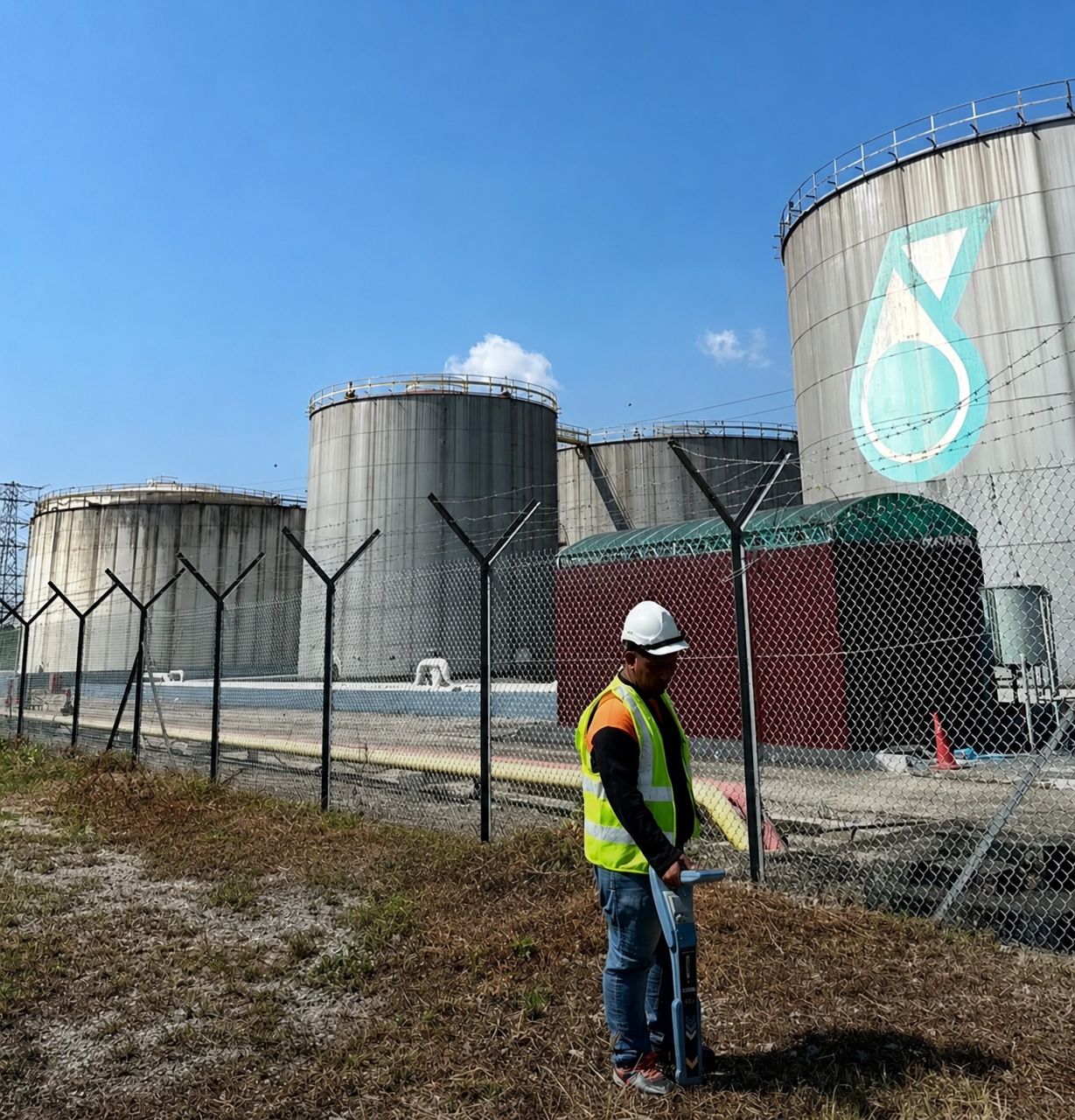
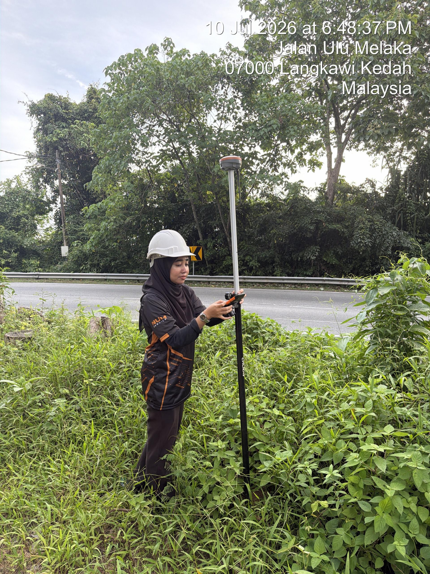
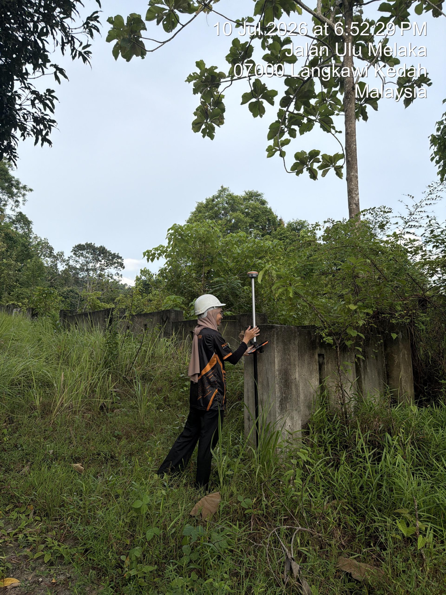
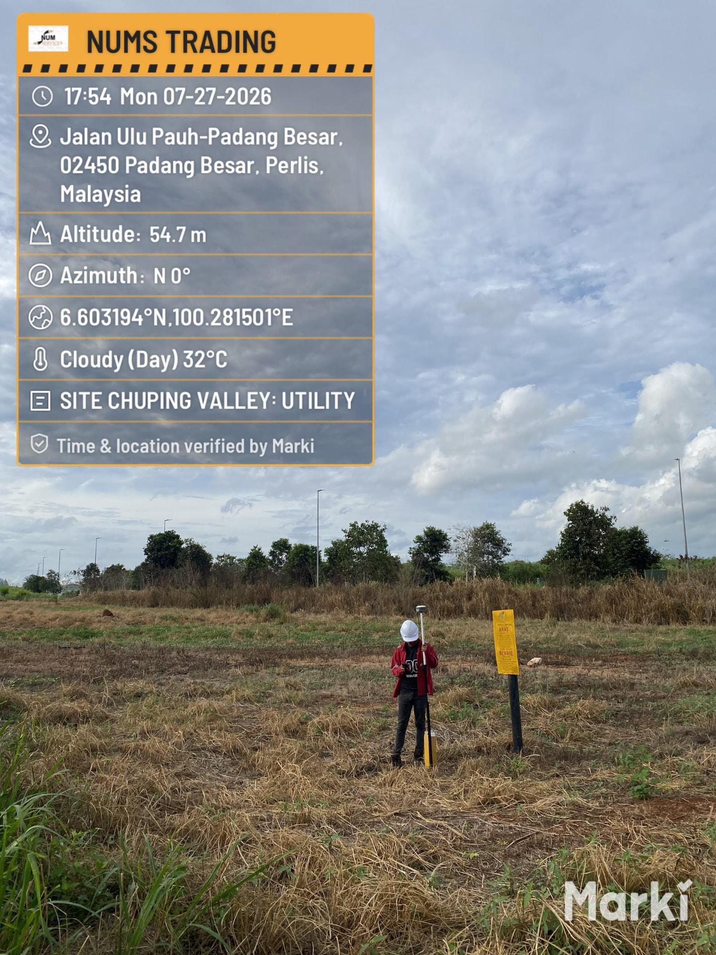
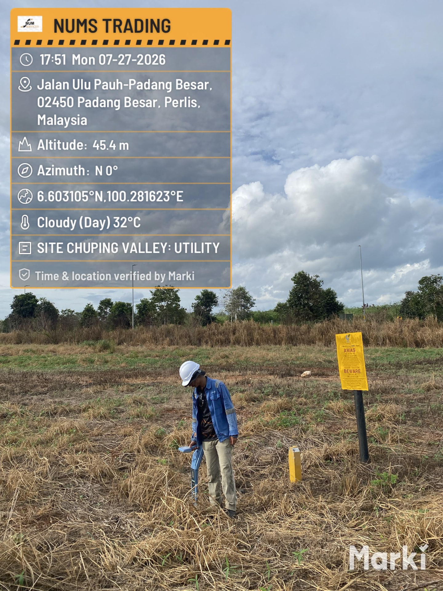
Calibrated detection, positioning and safety equipment maintained for field-ready accuracy.
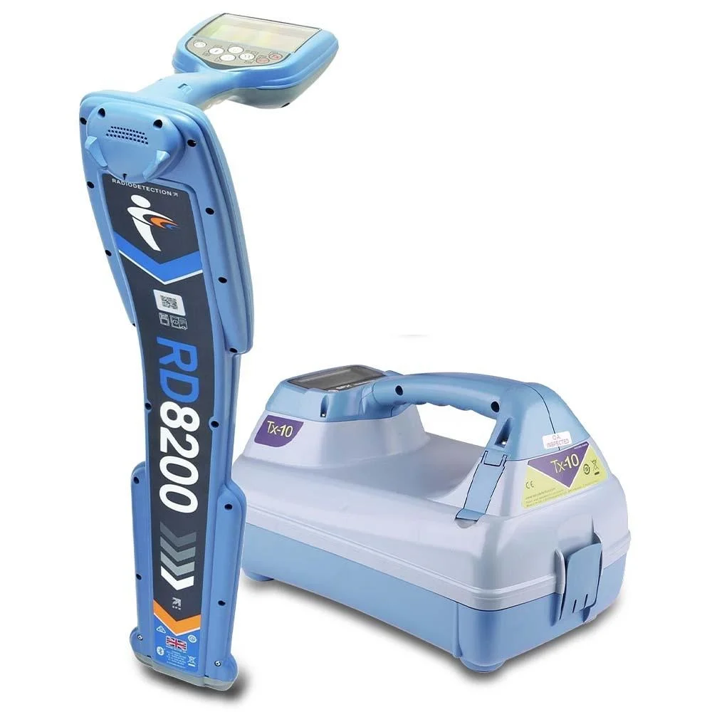
RD8200 Cable & Pipe Locator

Ground Penetrating Radar (Leica)
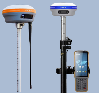
GPS RTK — CHCNAV i83
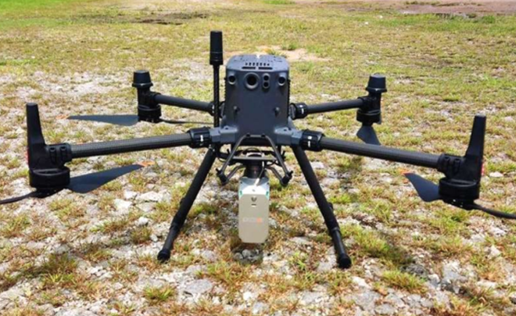
Drone LiDAR
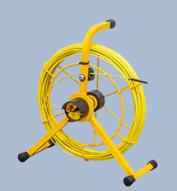
Flexi Trace
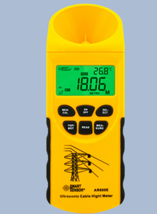
Ultrasonic Cable Height Meter
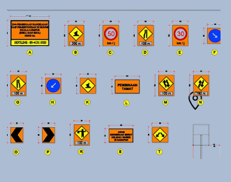
Traffic Management Plan (TMP) Gear

Traffic Cones

Manhole Key (Round Cover)
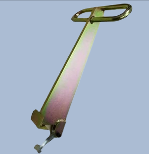
Manhole Key (50cm Foot Type)
What you receive
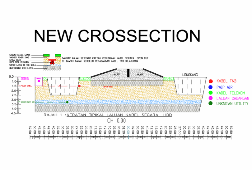
Utility infrastructure plans in AutoCAD format with GIS data storage for permit applications and future reference.
Cross-sections every 50–100 m as required by the Local Authority (PBT).
Plans approved and endorsed by a licensed land surveyor.
Hard-copy infrastructure plans for the PBT and utility managers to issue excavation permits.
As-built drawings and photographic reports upon completion.
An additional service for telecommunications operators planning new tower sites.
On-site network measurement for YES, CelcomDigi, Maxis, TM Unifi and U Mobile.
Assessment of site accessibility for construction and maintenance vehicles.
Identification of the nearest power source and distance to the proposed tower site.
Estimation of population coverage within the proposed service radius.
Base station and CPE proposals to support telco tower siting decisions.
Professional & Experienced Workforce. A tiered organisation built around licensed, trained specialists.
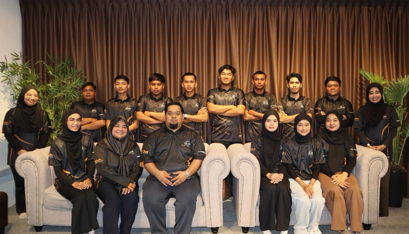

Director — Land Surveyor
Hawa Fatihah Binti Abdul Razak
Account Manager
Nor Ain Shafiqka Binti Mohd Kasim
Admin & Finance Executive
Sharifah Alia Sofia Binti Syed Abdul Rahman
Admin Assistant
Wan Aiman Zulhakim Bin Wan Mohd Zoro
Chief Surveyor
Roslina Binti Mohamad Nawar
Project Manager
Tengku Shahrol Iquan Bin Tengku Mazli
Surveyor & Underground Utility Mapping
Wan Ahmad Shauqi Bin Wan Md Alimi
Surveyor & Underground Utility Mapping
Aqil
Assistant Surveyor
Adam
Assistant Surveyor
Shamizie
Assistant Surveyor
Danial
Assistant Surveyor
Ir. Mohd Zulkarnain Bin Mohd Sidik
Professional Engineering
Mohd Affendi
Traffic Management Officer
Nur Sabrina Irwayu Binti Abdul Sukor
Drafter
Nur Maisarah Binti Mohd Shukri
Drafter
Aida Nurain Binti Mohd
Drafter
Hasya Hannani Binti Sobri
Drafter
Terengganu & Kelantan — celebrating our people behind every project.

Our equipment is calibrated and certified, and our surveyors hold UMAP course certificates alongside formal academic qualifications in surveying and engineering.

Equipment Calibration Certificate — RD8200
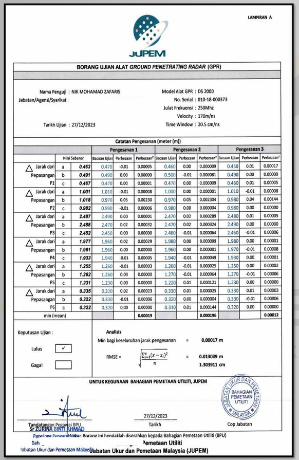
Equipment Calibration Certificate — GPR
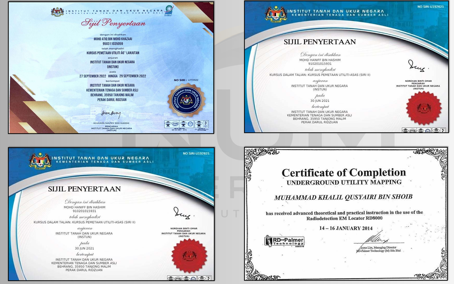
UMAP Course Certificate

Academic Qualification — Land Surveying
Tell us about your corridor, site or excavation permit requirement — we will respond with a scope and quotation.
Company
NUMS TRADING
SSM Reg. No.
202503354201 (TR0334931-X)
Address
404, Tkt 1, Jln Pintu Sepuluh, Jln Putra, 05100 Alor Setar, Kedah, Malaysia
Phone
+60 19-343 0361TikTok
@numstrading